Research

Graph-based methods for multimodal imaging and remote sensing.

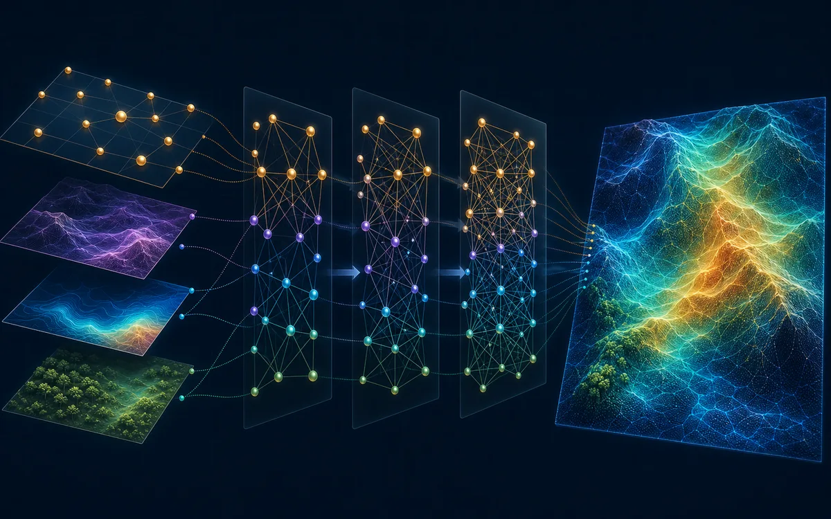
My research uses Graph Signal Processing and graph learning to combine measurements from different sensors, resolutions, and physical contexts—recovering information that a single modality cannot reliably provide alone.
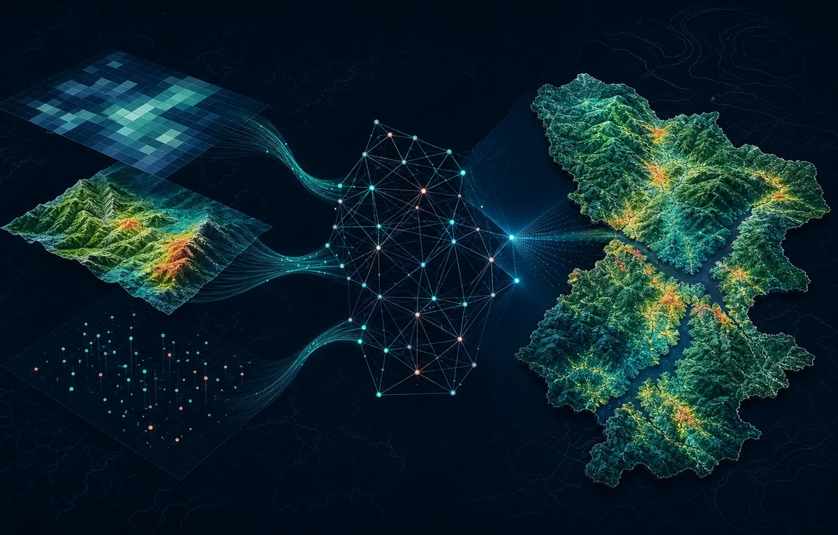
Multimodal graph signal processing fusion of imaging data
Research focus

Physically informed graph models for image and sensor-data fusion.

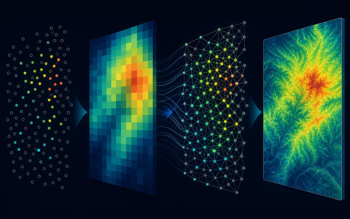
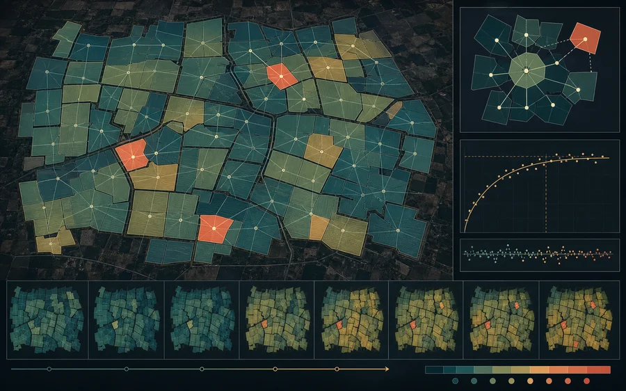
Pixels or measurements become graph nodes; edges encode spatial, terrain, spectral, temporal, or sensor-derived relationships. This representation supports reconstruction on irregular domains, the incorporation of ancillary variables, and the preservation of local structure.

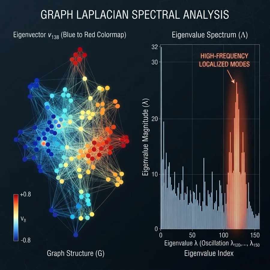
Spectral graph Laplacian analysis on a sensor grid
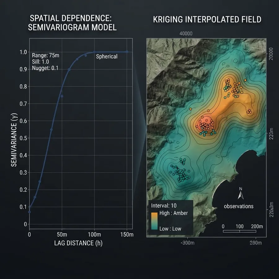
Spatial variogram model and kriging-interpolated field
Satellite imagery experience

SMAP, MODIS, GNSS-R, and multimodal terrain data.

My remote-sensing research combines data from NASA's Soil Moisture Active Passive (SMAP) mission, MODIS products, and Global Navigation Satellite System Reflectometry (GNSS-R) measurements from the SMAP reflectometer with terrain elevation, land-surface temperature, vegetation optical depth, and vegetation water content. The work addresses coarse resolution, missing observations, and mismatched spatial scales, with validation against in-situ measurements at calibration sites across the United States.

Research trajectory

Three stages, one framework.

01

Graph-based interpolation

Established a GSP reconstruction framework in which high-resolution ancillary data define graph relationships for improving coarse remote-sensing observations.

02

Physics-aware multimodal fusion

Extended the framework with data-fitting, structural-model, and graph-smoothness terms to integrate soil moisture, temperature, vegetation, and terrain information while maintaining physical consistency.

03

Learnable graph fusion

Introduced a GCN framework that learns edge relationships from multimodal features and transfers them to unseen geographic regions when ancillary data are available.

Selected publications

Peer-reviewed work.

Graph-based signal reconstruction figure
EUSIPCO 2022 · pp. 1791–1795

Graph-Based Interpolation for Remote Sensing Data

Garcia Cardona, J., Ortega, A., & Rodriguez-Alvarez, N.

Read paper
SMAP-Reflectometer GNSS-R signal map over the United States
Remote Sensing (MDPI) · GNSS-R

Unlocking the Potential of Graph Signal Processing: Enhancing SMAP Soil Moisture Estimates with SMAP-Reflectometer Data

Garcia-Cardona, J., Rodriguez-Alvarez, N., Munoz-Martin, J.F., Bosch-Lluis, X., & Oudrhiri, K.

Read paper
Multimodal graph-based fusion figure
IEEE CAMSAP 2023

Multimodal Graph-Based Fusion to Enhance Satellite Image Resolution

Garcia-Cardona, J., Lu, W.-Y., & Ortega, A.

View proceedings
Graph convolutional network fusion figure
EUSIPCO 2025 · pp. 2182–2186

Graph-Based Image Fusion: Enhancing Multi-Modal Remote Sensing Data with GCNs

Garcia-Cardona, J., Arias, K., Ortega, A., & Arguello, H.

Read paper

View all research on Google Scholar

From research to practice

The same ideas extend to SPAD, CMOS, depth, transient, and spectral camera systems.